Data analytics is a vast field concerned with transforming raw information into new and valuable insights that can help boost business operations, accelerate innovation, and predict upcoming events. The field of data analytics helps companies get a grasp of the past and provide a predictive or clear definition of the future. That is, competent data analytics can be the factor that determines either success or a loss. And with the data becoming more complex and vast in volumes, there is a necessity to gather, structure, and analyze it fast and correct. That is what big data is about, enabling capturing and managing data sets of such size and type that can’t be processed by traditional databases.
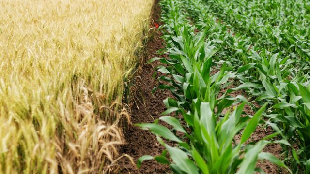
Agriculture is one of the biggest industries that has obviously become a target of big data technologies, as farmers and agribusinesses have to make many decisions from season to season to increase yields or simply not lose crops. Big data, geospatial data analysis specifically, has become a major key to precision farming. Agribusiness participants have begun to use every resource at their disposal to maximize crop performance. Therefore, big data processing has enormous potential for agriculture. Companies have spotted this niche to develop services that are convenient for farmers even without data skills. Technology is learning to perform analytics on its own without human intervention, all that remains is to make a decision based on already available reliable data. Follow the link to the site to see an example of a company that offers advanced geospatial data analytics across different domains via its software products.
Ways Data Analytics is Used in Agriculture
Based on the application of the Internet of Things and other technologies in the field of agriculture, a large amount of data has been accumulated, which has laid the foundation for the application of big data in agriculture. From the perspective of domestic and international development, big data leads to changes in the way of agricultural development to improve farming efficiency, ensure food security, and achieve high-quality agricultural products. The primary value in agricultural data processing is held by geospatial data analytics. Here are some of the main examples of how exactly data analysis works in farming and what it can offer.
1. Weather Conditions Monitoring

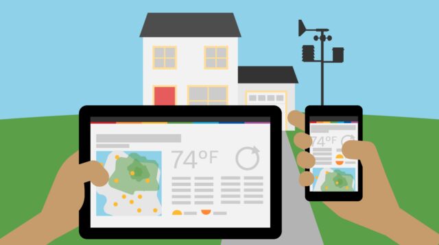
It’s no secret agriculture significantly depends on weather conditions throughout the entire growing season. The ability of the farmer to predict and adapt to extreme and adverse weather events is hard to overestimate. Data-based platforms can track changes in weather conditions in almost real-time so that farmers can react quickly. More so, they can offer access to the weather forecast or historical weather data so that agronomists could analyze local weather patterns through time to plan irrigation, crop rotation, etc., or decide on protection measures in case of upcoming weather threats.
2. Crop Management
The application of satellite data and geoinformation systems is a modern and already widespread method of monitoring agricultural lands. Technical capabilities of today’s remote sensing systems allow us to carry out global observations of the state of crops and the course of all stages of crop development. Assessment and monitoring of crop conditions are based on determining spectral reflectance characteristics.
Satellite imagery can also be used to create different types of field maps (soil types, crop classification, field boundaries, moisture mapping, etc). With those, agronomists can easily identify soil types, moisture levels, crop rotation history, and more to decide which crops are best planted and where, implement biodiversity and smart crop rotation, evaluate fertilizer application, etc. This data enables farmers to influence the efficiency of growing crops, protect the soil from degradation, and even improve its fertility. Satellite imagery also allows for the calculation of various agri-indices, such as NDVI, NDRE, MSAVI, and others.
Using geospatial data analysis in agriculture implies the application of AI algorithms to analyze years of weather and crop data. Now, farmers can forecast yields with astounding precision even before sowing. These insights allow growers to perform field activities at the optimal time and rate, and only where necessary, maximizing yields and minimizing threats.
3. Automated Farming

For decades, farmers have used various systems to automate and track as many routine agricultural processes as possible. In many ways, data analytics is what actually separated commercially successful farmers from their peers long before big data became a term.
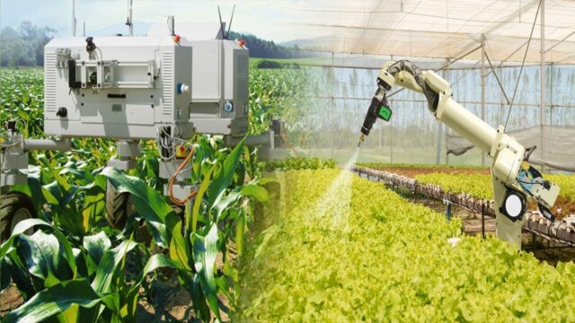
Today, thanks to recent innovations in drones and satellite tech, along with the development of data analytics capabilities, automation has reached new heights. Farmers now can track crop health remotely and cover large areas easily, not needing to inspect the whole field on foot. More so, they can get notified of areas that require attention. As the technology and geospatial data analytics market continue to evolve, it can be expected that the possibilities offered to agriculture will only grow.
4. Supply Chain Optimization
If precision farming is about growing agricultural products, smart farming covers all stages of food production, from sowing to appearing on the customer’s table. Data analytics is essential for all supply chain parties at all stages. When dealing with sensitive materials like seeds, plants, and food, waste prevention becomes a major issue. Data analysis helps farmers and suppliers optimize vehicle management to improve delivery reliability. Smart meters and GPS-based positioning systems, improve routing, reduce transportation costs, etc.
5. Eco-friendliness

Data analysis helps agricultural companies not only preserve the environment without increasing costs but also to reduce the negative environmental impact farming causes itself. For instance, having the necessary data already analyzed, farmers can make smart decisions on irrigation, fertilizer use, and soil tillage, which leads to fewer carbon emissions and water/air pollution.
Farmers are already using data analysis to optimize processes, cut costs, reach abundant yields, and increase profits. Unfortunately, modern technology is still out of reach for many farmers for a variety of reasons. Making precision farming based on machine learning and data analytics can help achieve the most important goal, which is to help farmers produce more affordable food to provide access to quality nutrition for the rapidly growing Earth’s population.


