As 2025 has shown, due to unprecedented global restrictions associated with COVID-19, most industries were faced with a choice – to upgrade or disappear when the next wave of crisis strikes. Such modernization can affect the work of almost all key departments, as well as their needs and tasks. According to Gartner’s Market Guide for Crisis / Emergency Management Solutions, this perpetuates the implementation of multiple tools tailored to a specific role used to support crisis events. Organizations are integrating advanced solutions into day-to-day operations to improve their own business performance and in order to undergo a seamless cutover to crisis mode when needed.
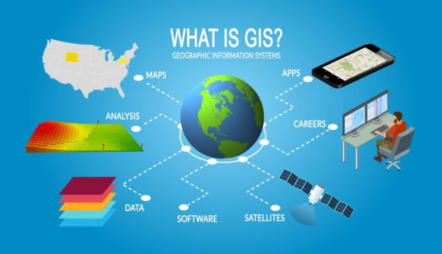
One example of business evolution is the use of so-called GIS software like Aspectum.com. These three letters stand for “Geographical Information Systems.” If this makes you think about maps, you are partly right, as this technology is data-driven. More precisely, it is driven by a collection of hardware, software, and geographic data for capturing, managing, analyzing, and displaying every type of geographically referenced information, often called spatial data. This information can be used for any business needs.
What is a geographic information system and how GIS works
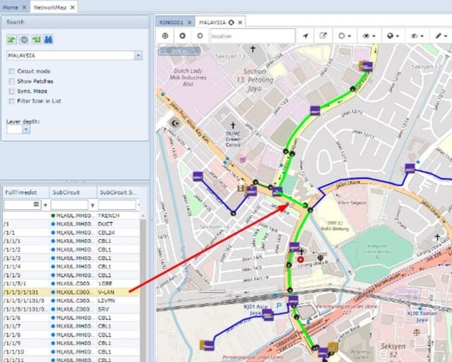
Generally speaking, GIS is a system that helps to replace outdated solutions. For example, tables in Excel, which are beloved by many managers. In return, you can expect less effort in working with the data, improved quality of such work, and a better understanding of the data, as well as the ability to capture important insights about your target audience or competitors. But the most significant benefit is the fact that business decisions won’t be based on personal judgment, but on the evidence.
Geographical Information Systems can be considered a kind of instrument-related to the Business Intelligence category, which has emerged due to the development of big data and the increase in modern hardware computing power. At the same time, to use the technology, you can use any information that can be linked to a particular geographical area – from demographic data of specific social groups to the amount of harvest per square kilometer.
Here is a gripping fact: if you were interested in the direction of working with data, you might have probably heard that “80% of transactional information possesses a geographic reference”. Of course, the figure is a little shocking, but thanks to the verification of this particular phrase from a scientific point of view, it turned out that it is very close to the truth. It is believed that up to 60% of the data, in one way or another, can be associated with a specific location.
How can I apply GIS to the way my business works?
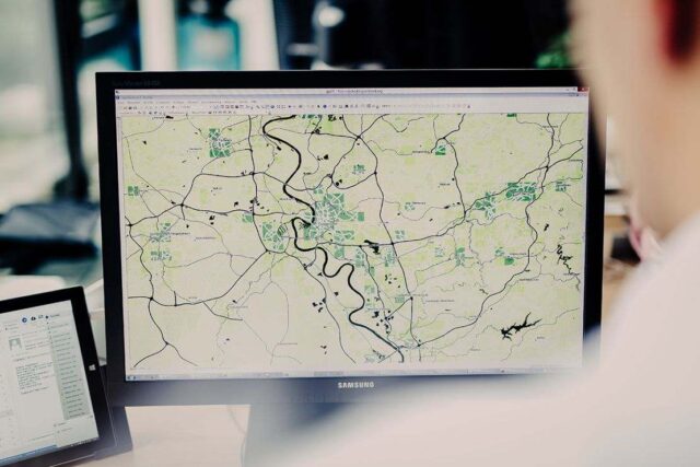
In recent years, GIS mapping software has become increasingly popular with businesses of all kinds. Let’s analyze the capabilities of such a system using a specific example.
Imagine that you are running an omnichannel retail business. To fully satisfy your audience and supply them with necessary and desirable goods, you need to understand the behavioral patterns of your customers. When it comes to the online part of your business, the approach to analytics, tracking, and measuring your customers is standard. These are diverse analytical tools for your website, such as crawlers tracking competitors on marketplaces and other stores, marketing solutions for quickly checking online promotions, etc. GIS technology allows you to do this, and majorly increase your offline efficiency.
There are certain benefits to utilizing GIS in day to day operations of every business. Let’s look into them in greater detail.
Available data about your customers

Understanding the key features of the target audience in different locations allows you to adjust tactical steps and come up with a holistic strategy for the future. With data visualization and work with interactive maps, you can categorize and understand your audience. Age, employment, gender, income, religion, education, and many other factors are the information that becomes available with the GIS implementation.
Business growth management
The decision to open a store in a particular region or not is a problem for many retailers. Thanks to mapping tech and the obtained data, you can make an informed decision and choose the most profitable location for the next store.
Build relationships with buyers and demand forecasting
Knowing how and where your customers are buying allows the business to better manage its assets, promo campaigns, item prices, etc. In other words, based on spatial information, you can track the performance of each business decision – at the team or c-level. If your company has offices in several regions, a clear visualization of key indicators will allow you to get a good view of the company’s affairs.
Logistics

In this sector, the maps are being used for their intended purpose. Knowing the main routes of delivery, the distance to warehouses, travel time, and the transport network as a whole open up opportunities for optimizing processes, planning, and managing emergencies.
Competitive analytics

Having the ability to compare all the important information in one dashboard, you can predict competitors’ next steps (for example, to expand their network) or minimize your own cannibalization of sales in one area.
As you can see, information can truly be considered the king of processes. Going back to our example, imagine what a business can achieve by using all the analytics capabilities.
What else?
The retailer example is just the tip of the iceberg. GIS mapping software can provide so much more than just that. Manufacturers use this technology to identify brand preferences or buying habits; GIS helps financial institutions with the distribution of their own assets; marketing analysts use this technology to conduct in-depth market research; developers are utilizing it to understand the market and choose places for future development; for farmers GIS analyzes yields and helps with understanding their own fields better. This list can go on for a very long time.
Instead of a wordy conclusion, it should be said that today such technology is not exclusively available to enterprise businesses, and the prerequisites show that GIS integration will become even simpler to use. Thanks to specialized providers, businesses don’t need their own computing power or a separate development team. All technology is available in one dashboard with detailed maps and data of any format. You simply need to answer one question: what should be analyzed and visualized.


